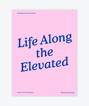
New York City has nearly 700 miles of elevated infrastructure – bridges, highways, subway tracks, and rail lines – towering above its streets and weaving throughout its five boroughs.
Over the course of a year, Krisanne Johnson, the 2013 Photo Urbanism Fellow at the Design Trust for Public Space, documented how this massive transit system and the millions of square feet of public space below it influence life in the city. The resulting photographs featured in Life Along the Elevated take us on a captivating journey along the 2/5 subway tracks in the Bronx, beneath the Manhattan Bridge in Chinatown, along the JMZ subway tracks in Brooklyn and underneath the Metro North line in East Harlem.
Authors
Megan Canning, Deputy Director, Design Trust for Public Space
Krisanne Johnson, Photo Urbanism Fellow
Whitney Johnson, Director of Photography, The New Yorker
Editor
Megan Canning, Deputy Director, Design Trust for Public Space
Details
Date: July 2014
Pages: 56
Format: PDF
ISBN: 978-0-9777175-4-5
Design by: Perrin Studio

